Welcome to my portfolio

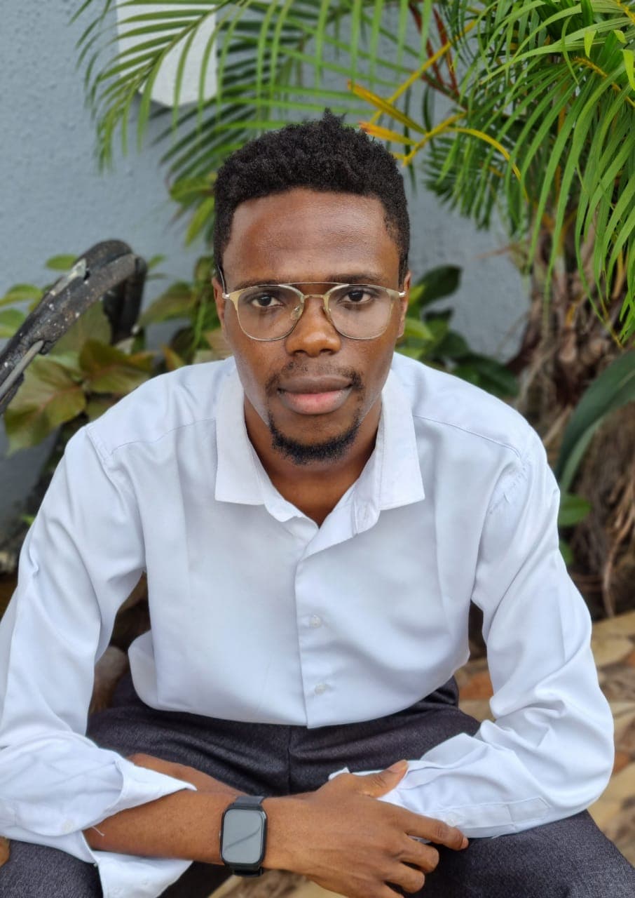
Moses Kelvin
Researcher | Software Developer
Biography
I'm a First-Class graduate of Geomatics from the University of Benin, driven by a curiosity for how satellite observations can help us understand and protect our environment. I work at the intersection of remote sensing, machine learning, and hydroinformatics, studying water resources, river systems, and climate patterns across sub-Saharan Africa.
I've contributed to EU and TETFund‑supported research, and I'm currently collaborating with the Earth Systems & Resources (ESR) Laboratory at the University of Georgia on hydrological modeling of land use change impacts in Lagos State. I build with Google Earth Engine, Python, MATLAB, JavaScript, and ArcGIS, and I've completed online training programs with the United Nations University and Esri.
Beyond the code and data, I mentor students, capture moments through photography, and believe that curiosity and impact go hand in hand.
My Research Interests
I am interested in using satellite remote sensing, geospatial analysis and computational methods to understand environmental processes, particularly river systems and water resources in data-scarce regions.
Fluvial Geomorphology and River Morphodynamics
Investigating how river channels change over time, including channel migration, width variation, erosion and accretion, using multi-temporal satellite imagery and geospatial analysis.
Satellite Remote Sensing and Earth Observation
Using Landsat, Sentinel and other Earth observation datasets to monitor rivers, surface water and environmental change.
Hydroinformatics and Machine Learning
Applying machine learning, statistical analysis and computational methods to hydrological modelling, water-resource assessment and environmental prediction.
Groundwater and Climate Interactions
Developing geospatial workflows, interactive dashboards and data-driven tools for environmental monitoring, flood-risk assessment and planning.
My Projects
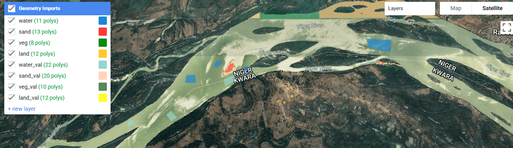
Google Earth Engine Binary Mask Extraction
Sep 2025 – May 2026GEE JavaScript code for extracting binary river masks from Landsat 4, 5, 7, 8 imagery (2001–2025). Includes cloud masking, band harmonization, spectral indices (NDWI, MNDWI, NDVI, BSI), Random Forest classification, and mask export.
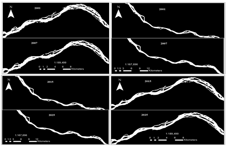
RivMAP River Morphodynamics
Sep 2025 – May 2026MATLAB scripts using the RivMAP toolbox to analyze multi-year binary river masks. Extracts centerlines, channel widths, sinuosity, curvature, migration rates, erosion/accretion patterns, and cutoffs.
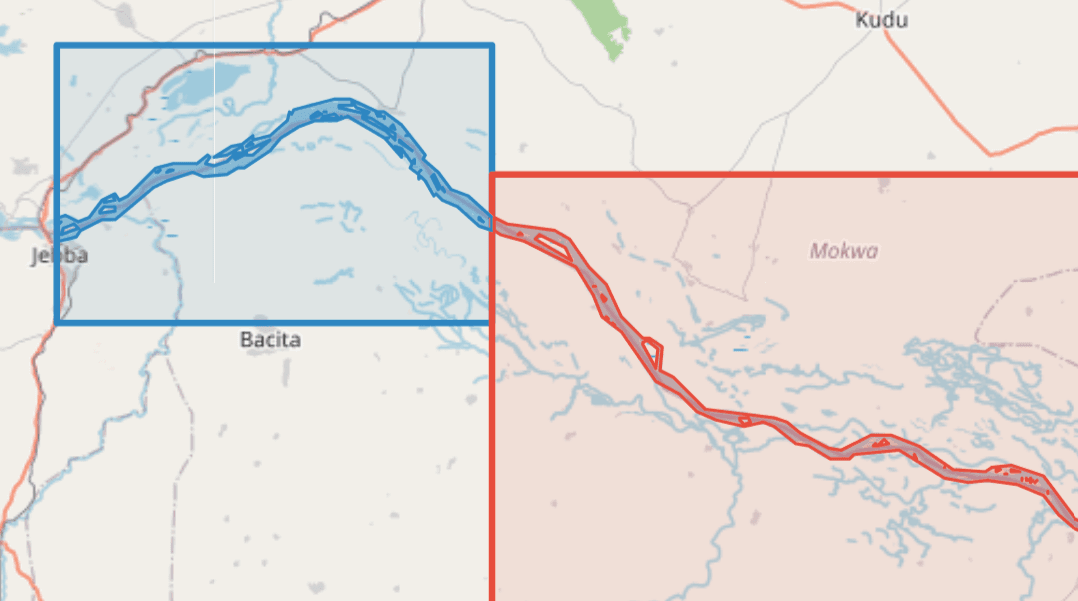
Niger River Morphodynamics Dashboard
Jul 2026 – PresentAn interactive dashboard visualizing 25 years of channel change in the Niger River downstream of the Kainji-Jebba dams, using 30-metre Landsat imagery, machine learning classification, and geomorphic extraction tools.
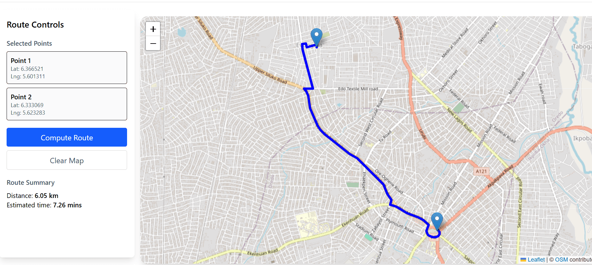
Route Optimization
Oct 2025 – PresentDesign and implementation of a web-based logistics route optimization system using open-source geospatial algorithms.
GeoAI Travel Time Prediction
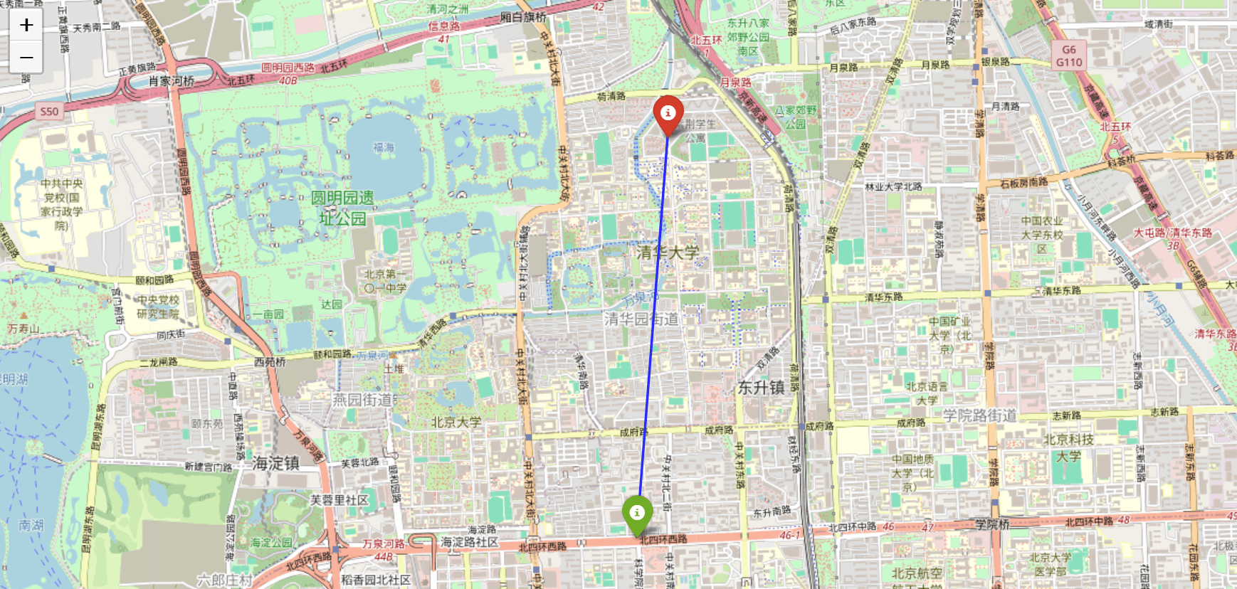
Oct 2025 – PresentPredicting actual travel time from GPS trajectories using Random Forest, Geolife dataset, and ORS comparison.
What can I help you with?

Research Collaboration & Mentorship
I enjoy working with other researchers and sharing what I have learnt with fellow students. My experience spans remote sensing, hydroinformatics and machine learning, alongside helping peers and junior students understand difficult concepts, prepare for examinations and develop their research skills. I welcome opportunities to collaborate on research and support others in their academic growth.

Full-Stack Web Development
I build web applications that turn ideas and data into useful, interactive tools. Using React, Next.js, TypeScript, Node.js and PostgreSQL, I develop projects ranging from geospatial dashboards to web platforms, with attention to usability, performance and practical problem-solving.
Geospatial Data Science
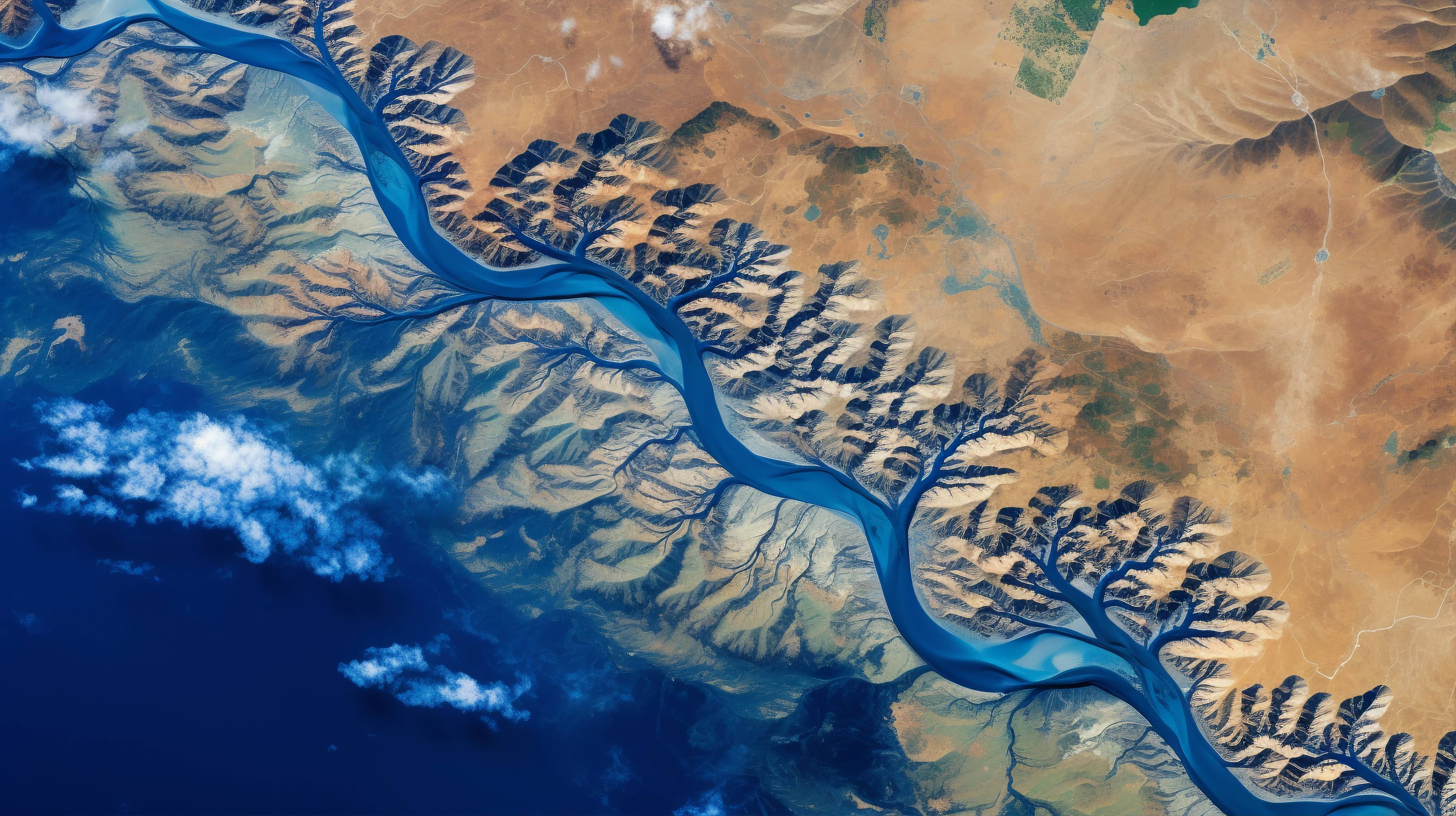
I use satellite imagery, GIS and computational methods to investigate environmental change. My work includes river morphodynamics, land-cover mapping and flood-risk assessment using Python, Google Earth Engine and machine learning. I am particularly interested in developing geospatial workflows that make environmental data easier to analyse, interpret and communicate.
What people say about me
I supervised Kelvin for his final year project on GNSS accuracy assessment, and he handled the entire workflow himself, from fieldwork and data processing to writing up his findings. He demonstrated strong analytical skills, attention to detail, and the ability to work independently through technical challenges. He's hardworking, curious, easy to work with, and someone who takes ownership of his work. I'd gladly recommend him for any research position.
Dr. Surv. Ojo P.E.
Project Supervisor, Department of Geomatics Engineering, University of Benin
I remember your first class in 100 level—it was physics. In 300 level, you did a great job helping the class in Fluid Mechanics and Thermodynamics, going through all topics thoroughly days before the exam. In 400 level, you helped us in Engineering Mathematics (Fourier Series). You also brought everyone together to understand GNSS survey fieldwork and post-processing. Na legend you be!!!!
Ogbeta Samuel
Coursemate, University of Benin
Kelvin is an academic savior. I had my first semester project defense coming up and my topic was Analysis of selected global geoid models across Nigeria. It's was an area of of my course I feared so much. Kelvin stepped in, guided me through every step. I had something to present during the defense. He also showed me strategies to pass my 500l first semester courses from the prospectus during his clearance.
David Obose Usifoh
500lv Student, Geomatics Engineering, University of Benin
You usually held tutorial classes and taught easier shortcuts to solve problems. Working with you was incredibly insightful. You're very dedicated, punctual, ethical, and I loved how you always chase accuracy in all your work.
Joy Olla Solomon
Coursemate, University of Benin
After every lecture I barely understood, he was always there to walk me through patiently, fix a time, and explain (especially mathematical calculations). He has a team-leading spirit. He always has a possible solution to problems and gives a listening ear.
Momodu Gilbert
Coursemate, University of Benin
Kelvin's tutorials helped me understand Engineering Thermodynamics (MEE 351) and I passed very well. It was a blessing having you on the team—you went ahead to research and draft ways to solve problems. Your tutoring also helped me pass Highway Engineering (CVE 531) and Open Channel Hydraulics (CVE 521) in 500 level.
Okoro Chris Ikponwonsa
Coursemate, University of Benin
You made me feel I'm not doing good enough and can be better, you mentored me through a lot. Despite the fact that you are younger, I see the fire in your eyes to be successful, and that has really motivated me. Knowing you in my life has been a blessing.
Icheghe Diamond
Coursemate, University of Benin
I was lost on a particular departmental course (differential calculus) and you did not just teach me but everyone in my level and went down to the basics infact and gave past questions to help guide me. It really helped me alot.
Favour Peter
500lv Student, Geomatics Engineering, University of Benin
Back in school for engineering courses, you explained some courses that I was finding it difficult to understand and the night classes you organized before exams to prepare me for the exams.
Joshua Esther Charlie
500lv Student, Geomatics Engineering, University of Benin
Moments that Mattered
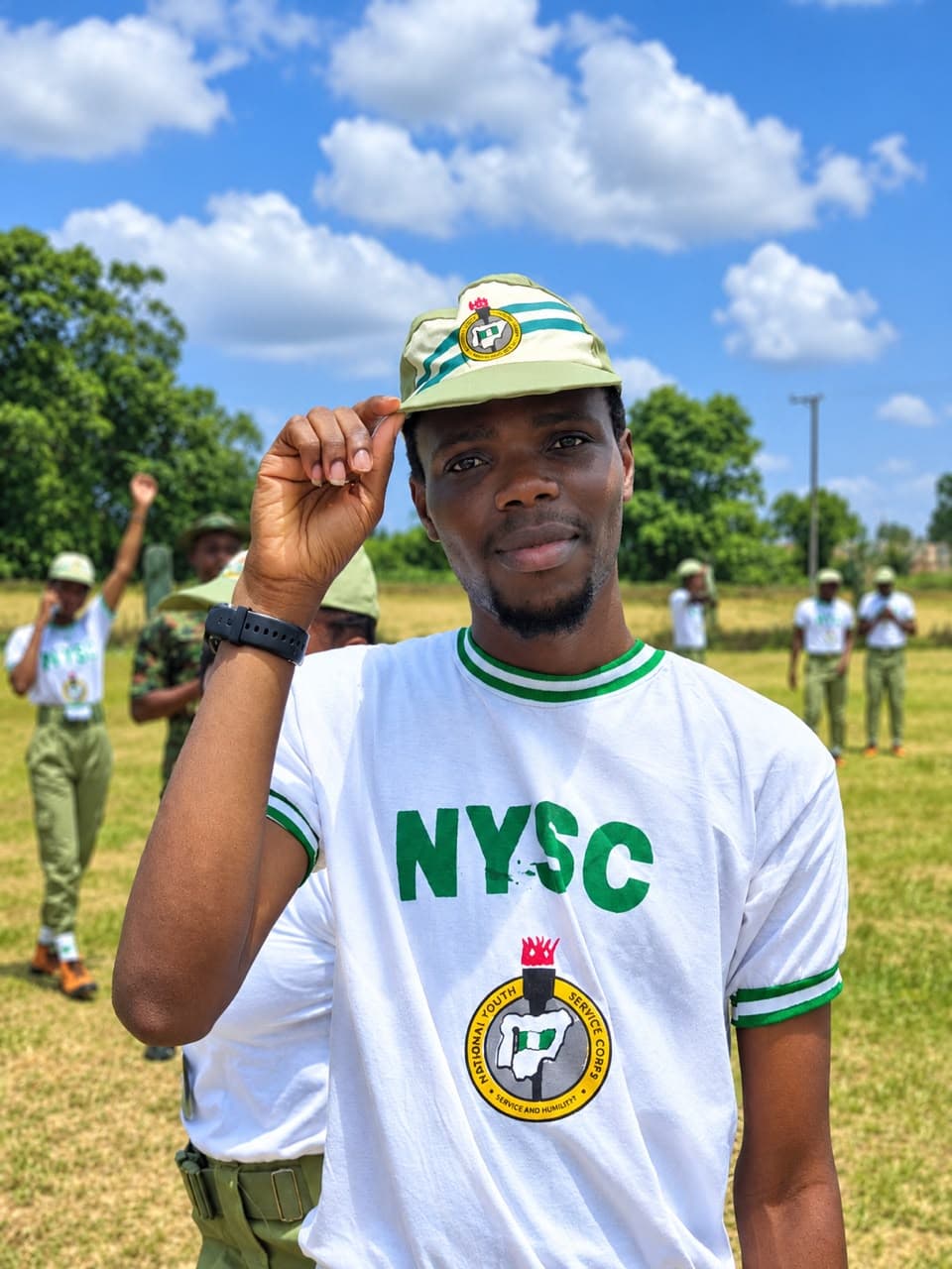
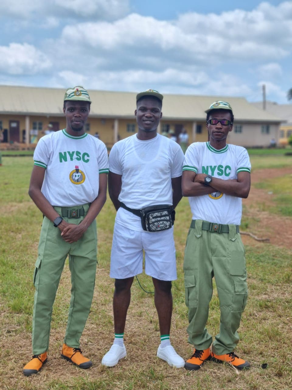
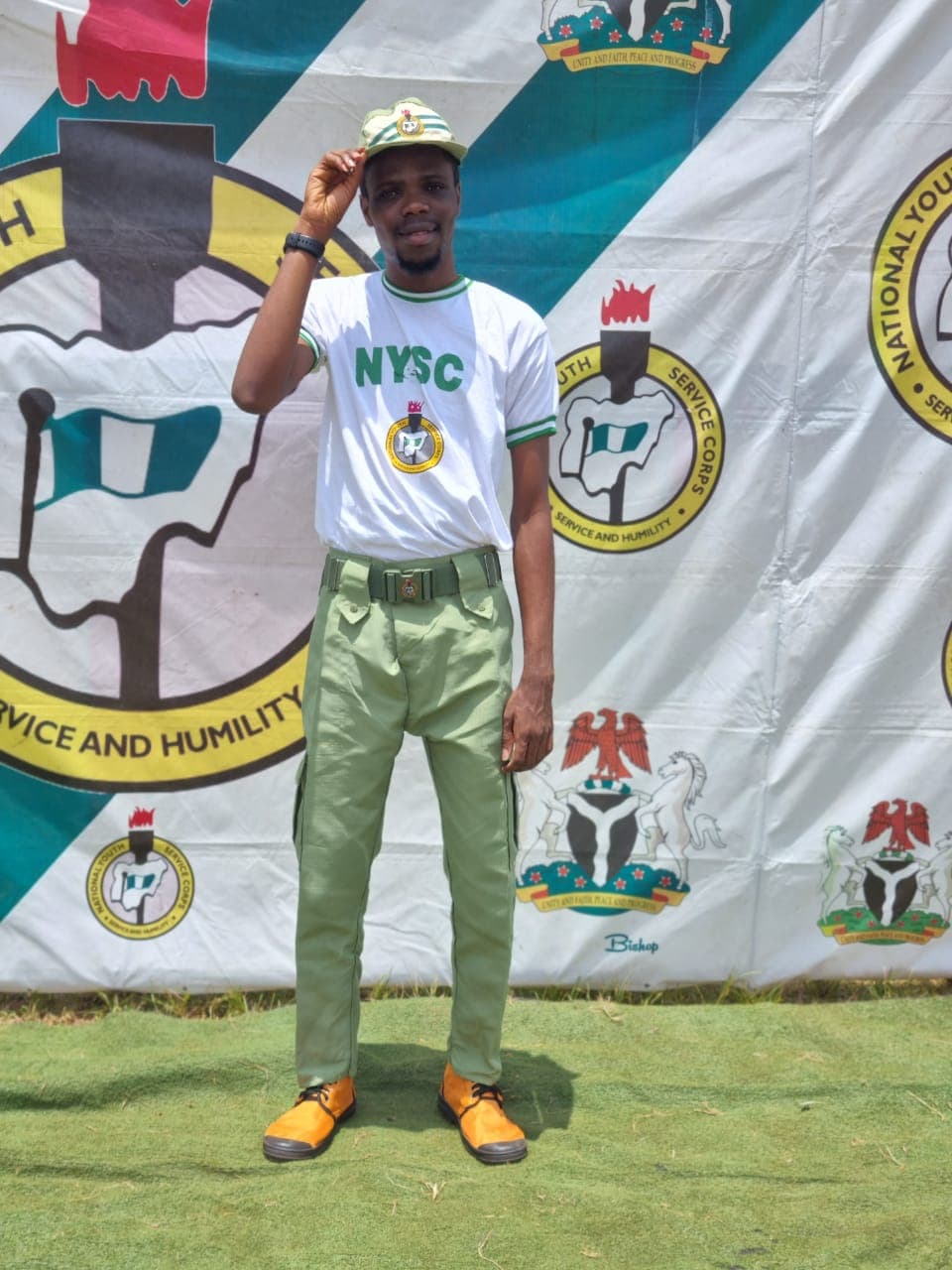
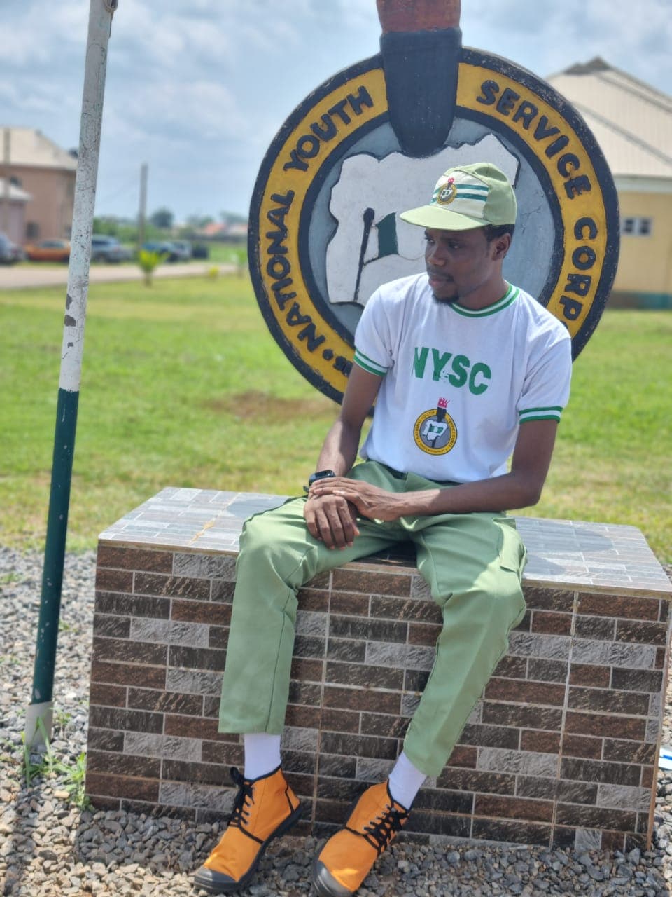
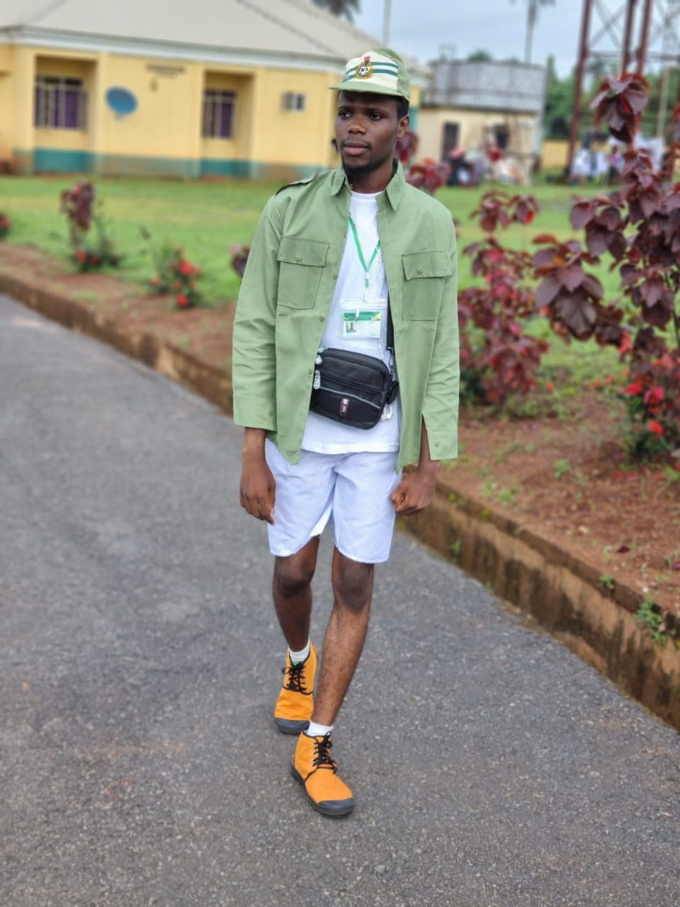
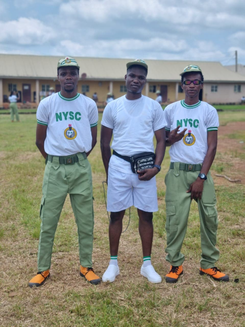
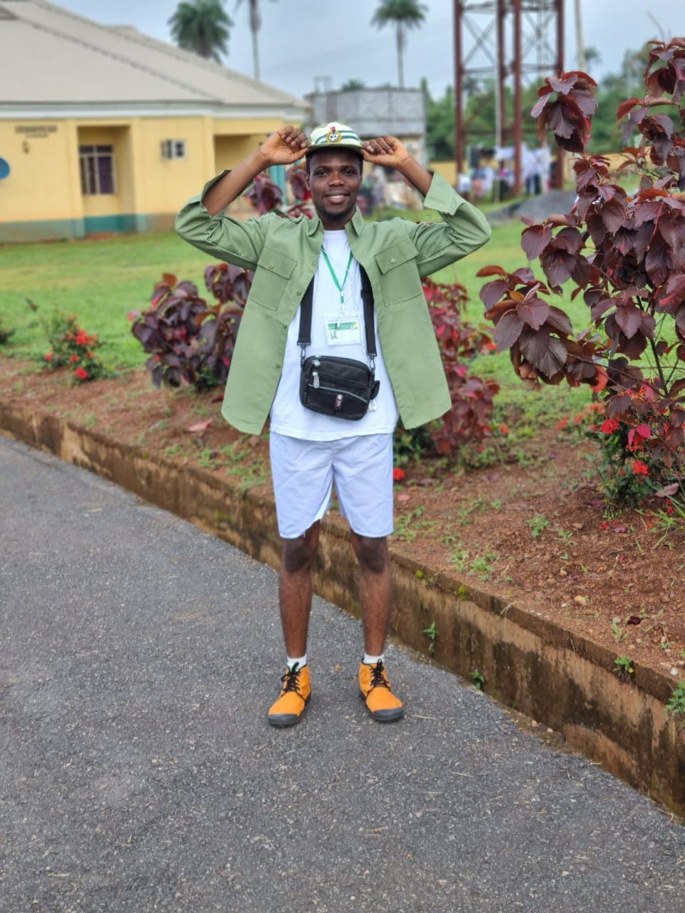
Starting my National Youth Service Corps journey has given me an opportunity to take my skills beyond the classroom and workplace and engage with the community around me. As I begin this new chapter, I look forward to contributing through teaching, volunteering and participating in community initiatives. For me, NYSC is an opportunity to learn from people, understand their needs and find practical ways to make a difference. It is also a reminder that growth is not only about the skills we develop, but how we use them to serve others.